
ILLUSTRATIVE REPORT PREVIEW
SEE THE FORMAT.
KNOW WHAT YOU'RE GETTING.
Example property intelligence report structure using fictional sample information—not a real site evaluation.
Request your property report ↗R.FICTIONAL SAMPLE
PROPERTY INTELLIGENCE REPORT
Illustrative parcel · Sample property / Washington
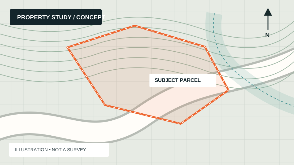
01 Preliminary land-use research 02 Public-mapping screening 03 Next-step questions
What is known about the property?
Sample reports organize property identifiers, jurisdiction, available assessor information, and the intended use supplied by the client.
- Study area
- Example Parcel A (fictional)
- Location
- Washington (illustrative)
- Research method
- Desktop screening
- Verification status
- Not field-verified
What should be screened?
Land use and zoningRESEARCH
Critical areas and wetlandsSCREEN
Access and public roadsVERIFY
Utilities and infrastructureCONFIRM
Slopes and terrainREVIEW
03 / RECOMMENDED NEXT STEPS
Separate facts, risks and unanswered questions.
Actual reports distinguish sourced observations from assumptions, identify relevant map references, and recommend the agencies or qualified professionals best positioned to verify material findings. A desktop report cannot certify parcel boundaries, wetland limits, allowable use, infrastructure capacity or buildability.